Tourist Tuesday: Central Park Part 1 – Jacqueline Kennedy Onassis Reservoir

Tourist Tuesday: Central Park Part 1 – Jacqueline Kennedy Onassis Reservoir

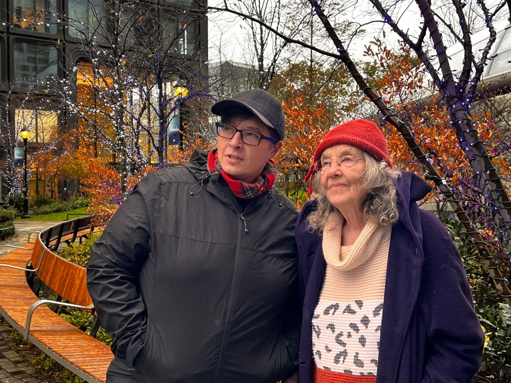
I’m back! Honestly, the weather the last few weeks has just been gray and dull, and I had zero motivation to get out of the house, plus I’ve been super busy at work. But I couldn’t go another week without heading out for somewhere touristy.

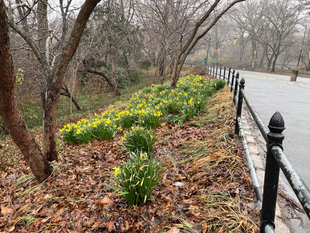
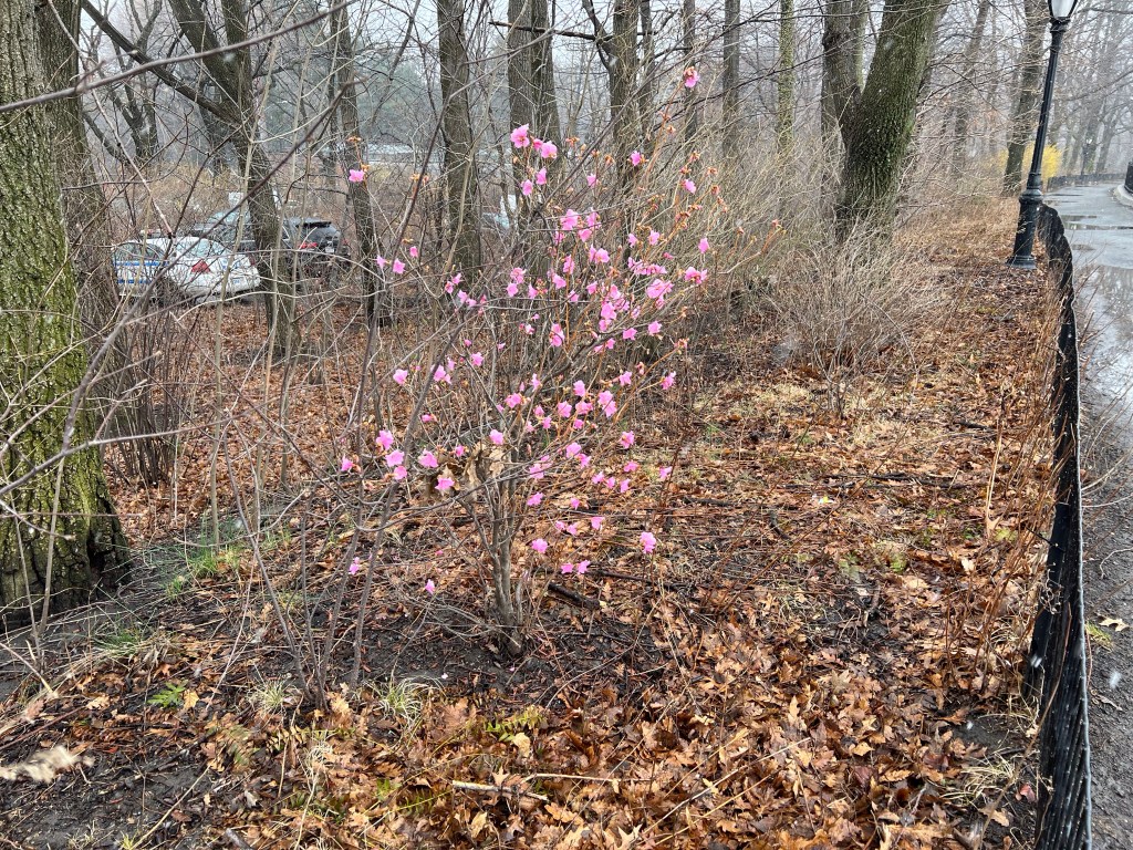
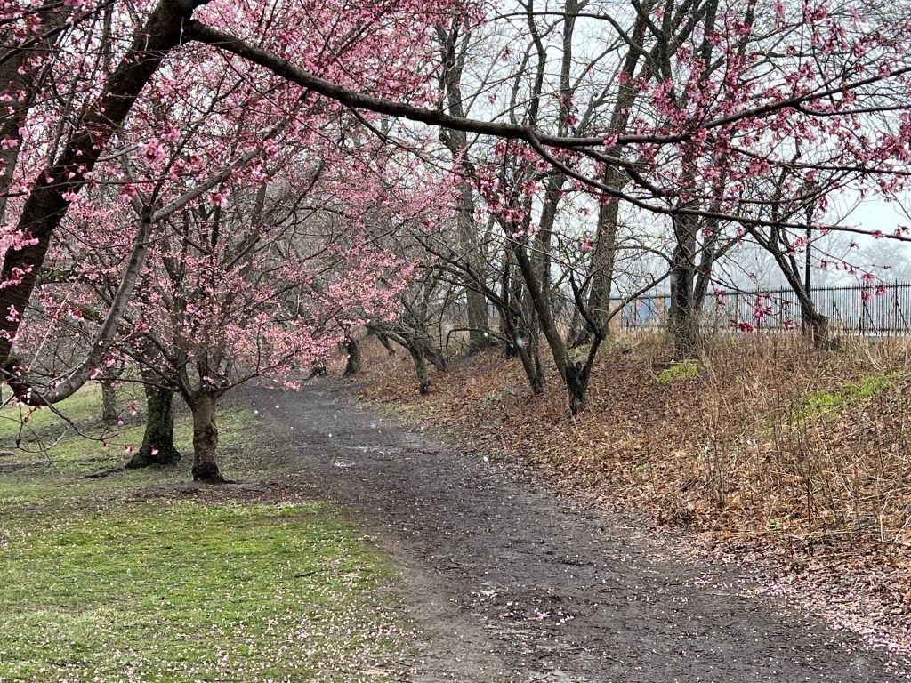
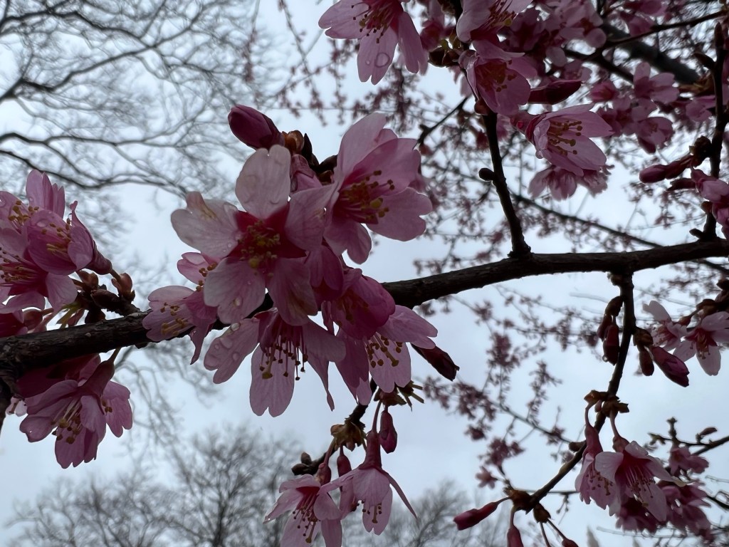
Of course I picked the day we had a nor’easter blowing through. We were just starting to see signs of spring too!

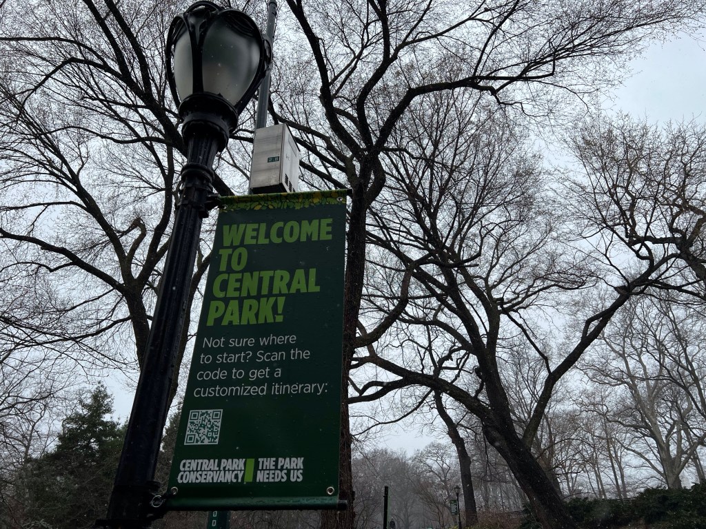
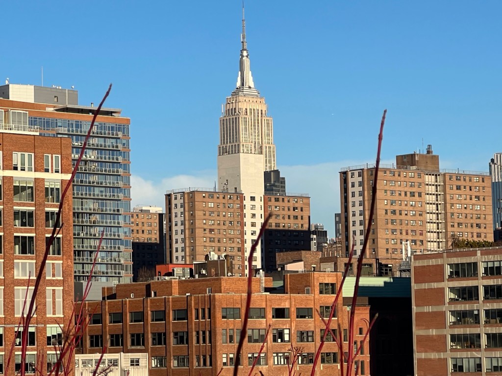
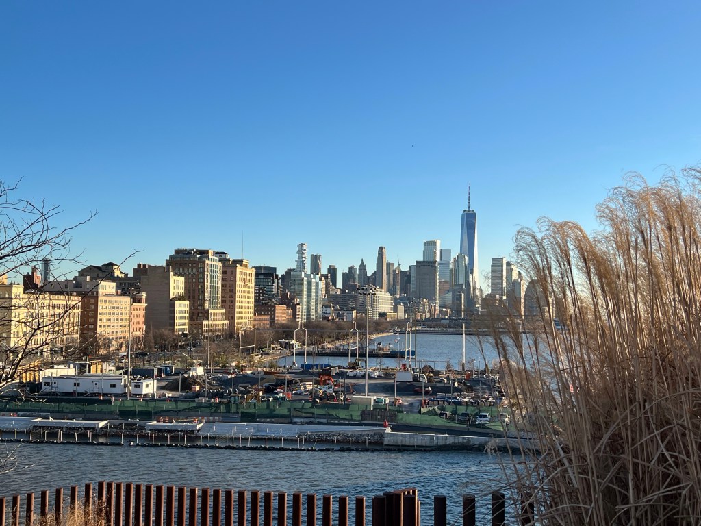
Since we were on the Upper East Side I figured I’d start my series on Central Park. Central Park is massive! It’s 843 acres, and there is a ton to see in this park, so there’s no way to see it all in one day. So I might feature other sites in between, but expect a bunch of posts on Central Park. Starting in Midtown, the park continues to Harlem in north Manhattan. The park covers six percent of Manhattan’s land area and is 2.5 miles long and half a mile wide. There are 42 arches and bridges in the park (30 are ornamental and 13 that are unnamed that carry park traffic over transverse roads).

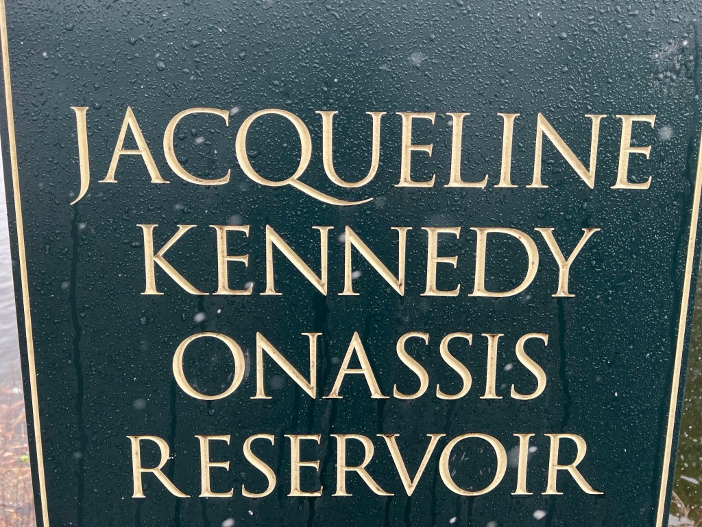
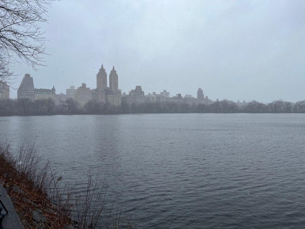
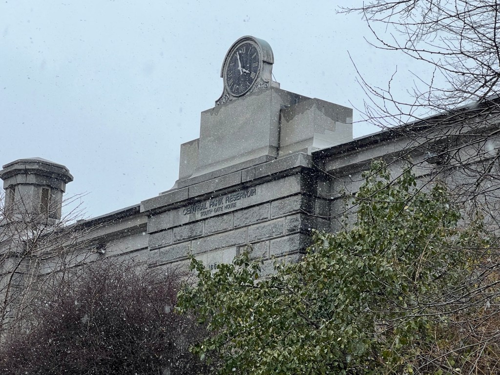
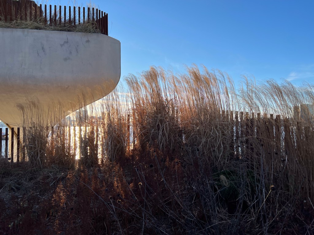
The first landscaped park in the United States, the New York state legislature authorized the acquisition of land in the center of Manhattan in 1853 (the debate began three years prior). The Reservoir was built in 1862, it was to supply the city with clean water. The Reservoir covers approximately 1/8th of the park, and holds over a billion gallons of water. It’s not used to supply the city with water any longer, but does distribute water to other Central Park attractions (the Pool, the Loch, and the Harlem Meer).

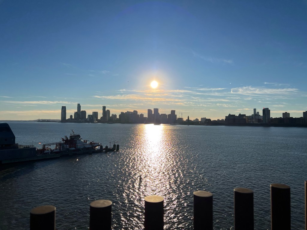
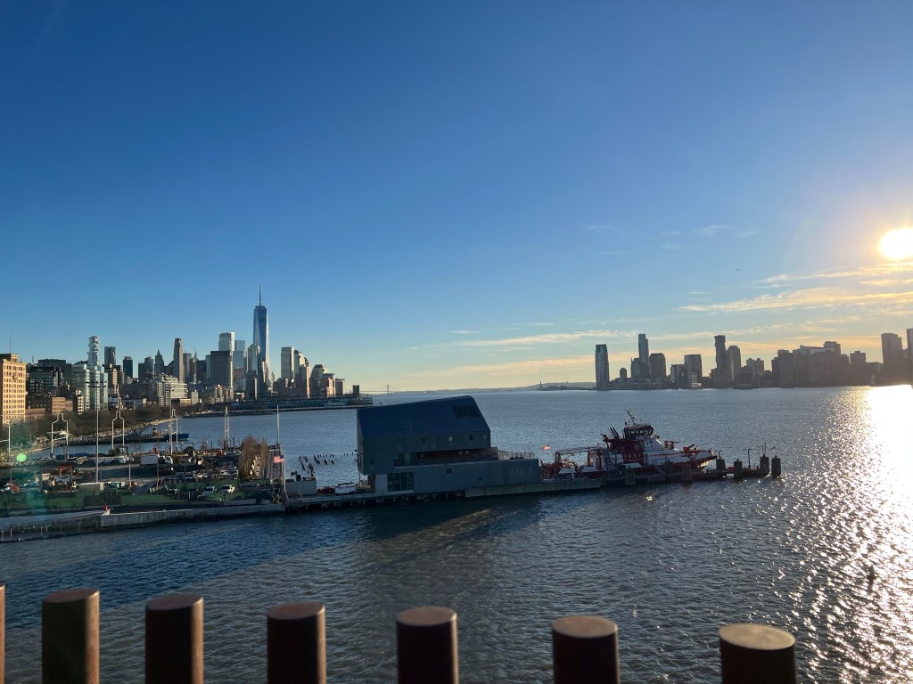
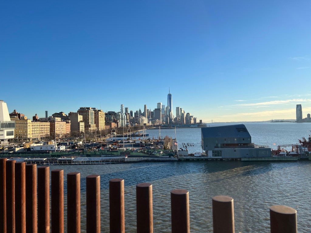
There is a 1.58 mile track encircling the 106-acre body of water, which offers awesome views of the city. The Reservoir was officially named after Jackie O (a frequent jogger around the track) in 1994.

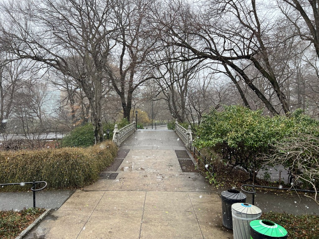
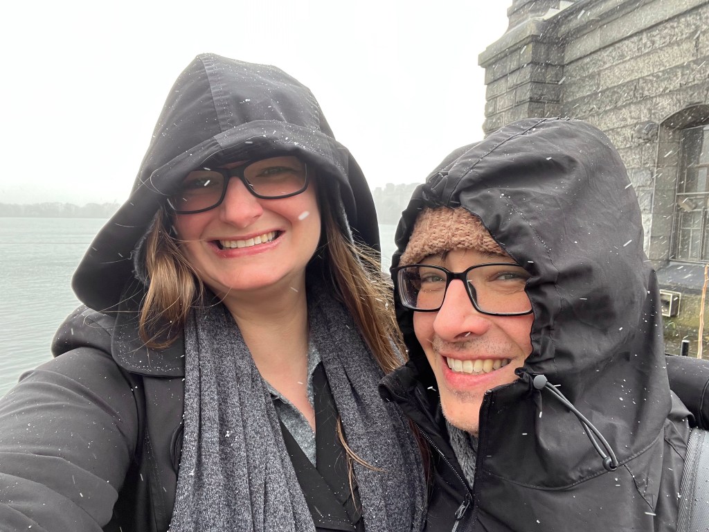
So back to today… it was so windy, and so cold; we ended up only walking a small portion of the loop, enough to get some photos and enjoy the view of the city before hightailing it for the subway home. Once springtime really hits and we’re not in a Nor’easter, I definitely recommend a walk (or jog) around the reservoir. However, be prepared for hordes of people; as I’ve mentioned before, New Yorkers flock to the outdoors at even the slightest hint of nice weather. If you like the snow and wind, it’s still a pleasant walk in the wintertime.

https://www.centralpark.com/things-to-do/attractions/reservoir/

Snow and spring

Tourist Tuesday: Staten Island Ferry

Tourist Tuesday: Staten Island Ferry

So last week, I wrote a little bit about the subway system in the city. I’m going to talk about it a little more this week. I had visitors this past weekend (yay for not being all alone while Lewis was in Zimbabwe), and one of these lovely ladies necessitates the use of a wheelchair. This presented a much greater challenge than I anticipated.

First, New York City has a great option for residents with disabilities, it’s called Access-a-Ride. If you are disabled, you can avail yourself of on call vehicles for the same price as a subway ride ($2.75). Also, most buses are accessible. However… and that’s a big however, buses are pretty good within neighborhoods/boroughs, not necessarily for traversing the entire city. And access-a-ride is not available to out of town visitors.

Second, the NYC transit app is completely useless. Google maps, Apple Maps, and CityMapper are great options for navigating the city, but there is no option to search by stations that are handicapped accessible. There is a “quick reference” page (https://new.mta.info/accessibility/stations) that is helpful in identifying stations that are accessible, but it’s definitely not ideal.

I was trying to get to the Staten Island Ferry from our apartment. The two closest stations to us (Brighton Beach and Sheepshead Bay) are not accessible, so we ordered an accessible Uber to take us to the closest accesible station (Coney Island/Stilwell Avenue). From there we had to go three stations past the Ferry and then we had to walk to the station (which was fine, we did some sightseeing as we made our way south).

Ferries have serviced Staten Island since at least the 1800’s. The first documented ship was commissioned in 1852 and was a steam paddle wheel boat. Almost all the boats commissioned prior to 1860 were sold to the U.S. Government and put into use for the Civil War.

The Staten Island Ferry is one of the last operating ferry systems in New York. There are four boats that make a total of 117 trips a day. The two best things about the Ferry: it’s free! And it sails right past the Statue of Liberty.

On this particular day it was cloudy and cold, so we stayed inside for the first leg of the trip. On the return trip we rode on the second level and went out on the deck to take photos. You can see some really beautiful views of the city. I love riding the ferry, even when it’s cold. I like the feel of the cold air blowing on my face. I love watching the seagulls fly alongside the boat.

If you get a chance to visit this iconic attractions, it’s worth the fifty minute investment of time.

Tourist Tuesday: Little Island

Tourist Tuesday: Little Island

I had Monday off this week, and an extra day off is a perfect excuse to head out for another installment of Tourist Tuesdays.

Lewis is out of town for work right now (he’s in Zimbabwe finalizing some details of the purchase of some land for the congregation there), so I had to head out alone.

Whenever I do anything alone (driving, grocery shopping, taking the subway) I always feel more grown up… to be clear, I’m quite obviously a middle aged woman, but I don’t feel like a grownup. It sneaks up on you kids, one minute you’re a young adult trying to figure life out, the next you’re on the other side of “over-the-hill” wondering how the heck you got there. So anyway, I always feel like a grownup when I take the subway by myself.

Some things to know about the subway. In Manhattan it is fully subterranean, but when you get to the outer boroughs (Brooklyn, Queens, the Bronx) some of the lines are subterranean, but other parts of the lines are elevated, but it’s still the same system. So, when we have visitors we’ll tell them to catch the subway at the such and such stop and they get confused because it’s elevated. Don’t ask me, I didn’t design the system.

I don’t know how people navigated the subway before smartphones and GPS. I mean, I know the lines in my neighborhood, and how to get to lots of places in the city without using GPS, but going outside of those very specific train lines gets very confusing. Apple Maps works quite well, Google Maps also. I like to use CityMapper, it tells you what part of the train to sit on so it’s easier to access transfers or exits.

Also, the subway is relatively cheap to ride, it’s $2.75 no matter where you are going in the city. Southern Brooklyn (where we live) to northern Bronx, still $2.75. Need to transfer to multiples lines to get where you’re going? As long as you don’t leave the station, still just $2.75. And if you take more than 12 rides in a week (using the same credit card) every ride after that for the week is free.

So enough about the subway already! For Tourist Tuesday I caught the B train to Manhattan, with a transfer to the D to the Meatpacking district (just south of Chelsea and northwest of the West Village) to visit Little Island.

Little Island is a new park in NYC that opened in May 2021. But the area, like most places in the city, has a long history. Built on the Hudson River, this area of the Meatpacking district has been been a busy port of entry and/or trade dating back to the early colonization of the area with the Lenape tribe using the area as a seasonal encampment for hunting, fishing, and trade along the river. Multiple piers up and down the river were establish in the 19th and 20th centuries. Pier 54 (the site of Little Island) operated the British Cunard-White Star line. The Titanic was supposed to make port at Pier 54, instead the survivors arrived aboard the RMS Carpathia rescue liner. Just three years later the RMS Lusitania departed from Pier 54, only to be sunk off the coast of Ireland five days later. Because of this, superstitious people claim that the pier is cursed.

In 2012 Hurricane Sandy hit NYC, leaving heavy damage in her wake, including Pier 54. In 2013 the Hudson River Park Trust partnered with the Diller-von Furstenberg Family Foundation to begin development on a whole new kind of park. The park is literally built in the river; comprised of 132 “tulip pots” (giant columns with bowls at the top sunk into the river to form the base of the park). The park covers 2.4 acres filled with trees, shrubs, grasses, and bulbs. There’s an amphitheater, trails, tables and chairs, in the summer there are a couple of food trucks, and some benches scattered about.

The park has fantastic views of the river, New Jersey, and Manhattan (you can see the Empire State Building and One World Trade Center from the park).

I highly recommend checking out the park, but be prepared for big crowds, especially when it’s warm… really any time that it’s sunny, there’s going to be a crowd. Personally, I love the river when it’s foggy and overcast, it’s magical to see the fog floating over the river, shrouding the buildings mist. On this day it was incredibly sunny. I’ll try to post photos from the park when it’s foggy if I ever get the chance. The park is free, and opens at 6 a.m. Closing time varies throughout the year.

https://littleisland.org

Tourist Tuesday: The High Line

Tourist Tuesday: The High Line

It was my birthday this past Saturday (yay for 43); since it was the Sabbath we spent the day with brethren, which is always lovely, but we didn’t get a chance to have a proper celebration. So Sunday (November 27) Lewis and I (along with my mother-in-law, Nancy) headed to the city for some fun. I wanted to walk the High Line. The High Line is one of my favorite places to spend time so it seemed like the perfect place to start Tourist Tuesdays! Each week I’ll visit a “touristy” place around the city and post about it each Tuesday.

The history of the High Line dates back to the 1800’s when the area was a dangerous street-level train line that transported food to lower Manhattan (hundreds of people died being hit by trains each year). In 1933 the street-level train was transitioned to an elevated train line, and it existed as such until the 1970’s when calls for its demolition followed its declining use. Throughout the 1980’s and 1990’s it remained unused (and a considerable eyesore). It wasn’t until 2004-2006 that zoning was approved to transform the elevated train line into a park.

The first section of the park opened in 2009, followed by the second in 2012-2014, and the third (and final) section opened in 2019.

The park is 1.45 miles of continuous greenway with over 500 species of plants. Along the park are art installations, food carts, benches, and pavilions overlooking the street.

The day started out warmish, but cloudy. but partway down the path it started pouring down rain! So we cut the walk short and exited at the Chelsea Market to get warmed up and have some lunch.

https://www.thehighline.org/